My friend Don Kerson and I drove up to the Vermillion Campground on Lake Edison on September 26, 2005, and spent the next three days backpacking up to the Graveyard Lakes basin and back. Here are a few images from that saunter.
This was only the second time the two of us had been backpacking together. The first time was in the summer of 1949 (or maybe 1950), when we were 16 (or maybe 17) and classmates in high school—the first backpack for either of us. On that earlier hike we had gone to Desolation Valley, wandering there for about a week, after spending the first night in a cabin on Fallen Leaf Lake that belonged to good friends of my parents.
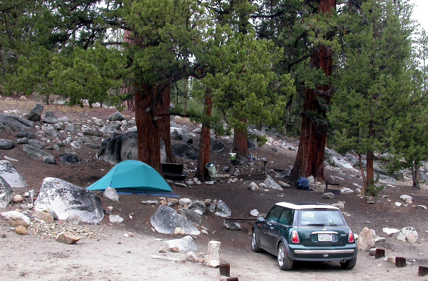
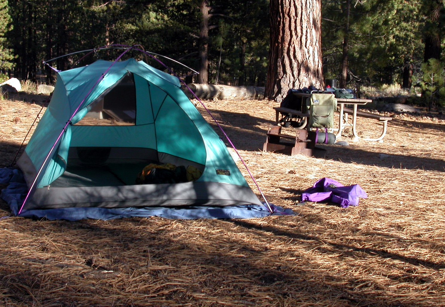
Site 26 at the Vermillion Campground sits among a stand of Western Junipers. It rained lightly throughout the night. We were the only ones in the campground. That's Don's Mini Cooper. There was plenty of room in that tiny vehicle for all our stuff.
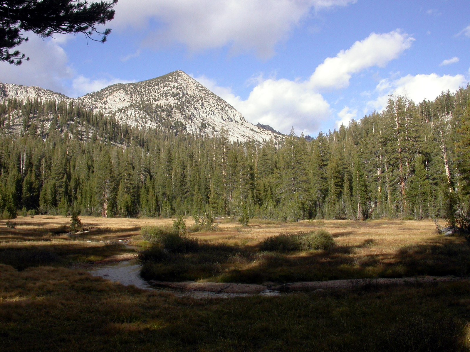
After hiking up during the cold day (about 45 degrees), we camped not far from where this was taken in Upper Graveyard Meadow.
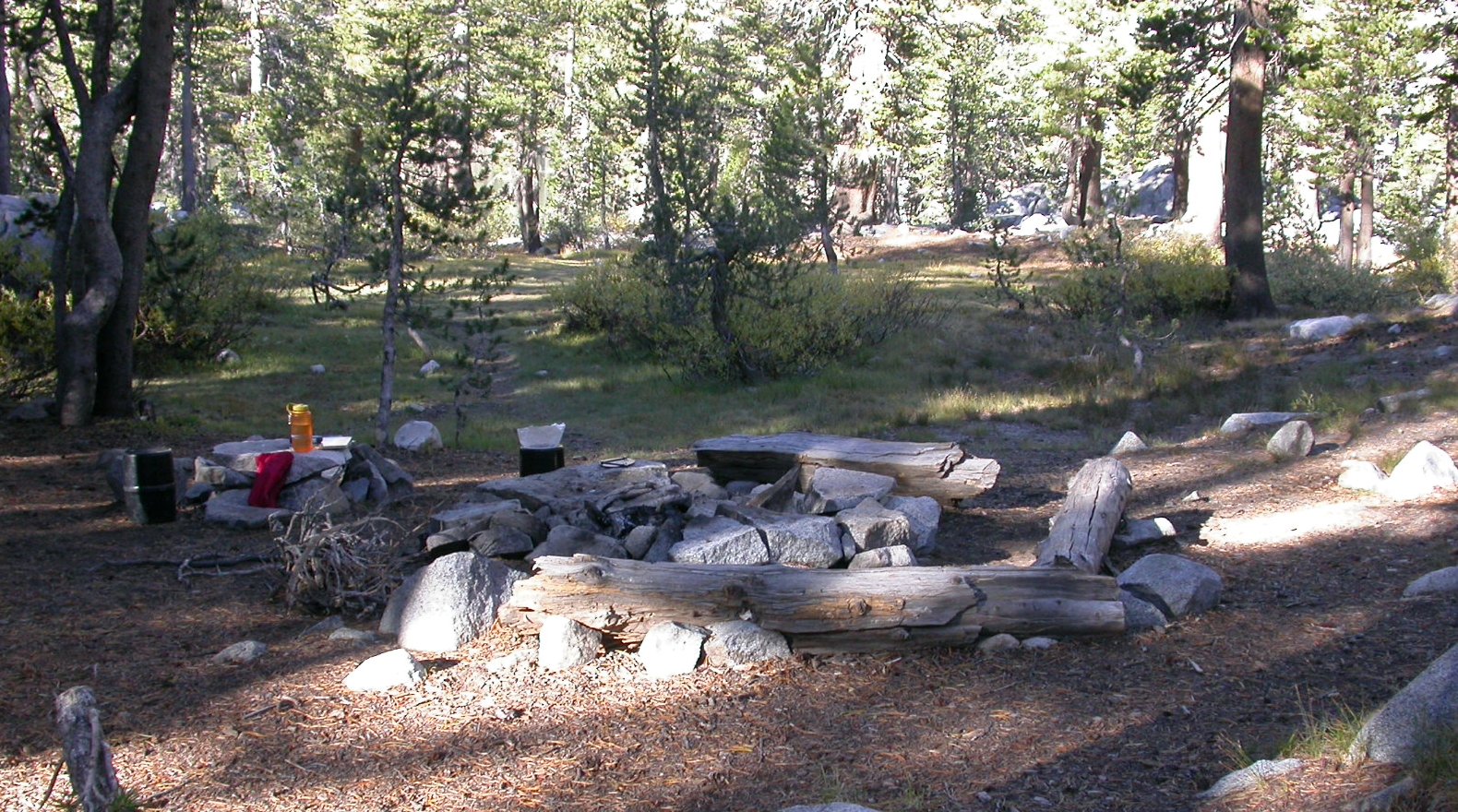
On Wednesday morning—a beautiful calm morning following an incredibly windy night—we hiked the short distance up to this well-used but attractive campsite on the lowest of the Graveyard Lakes.
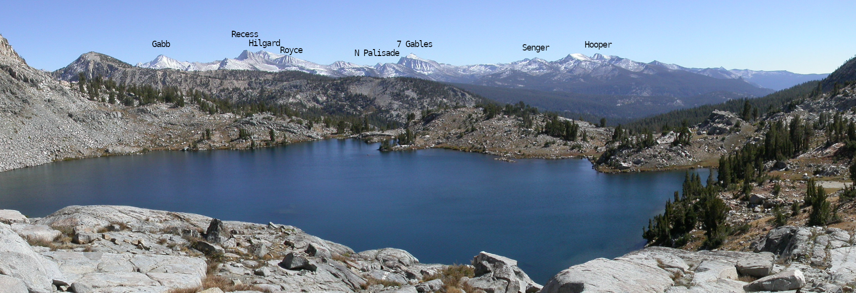
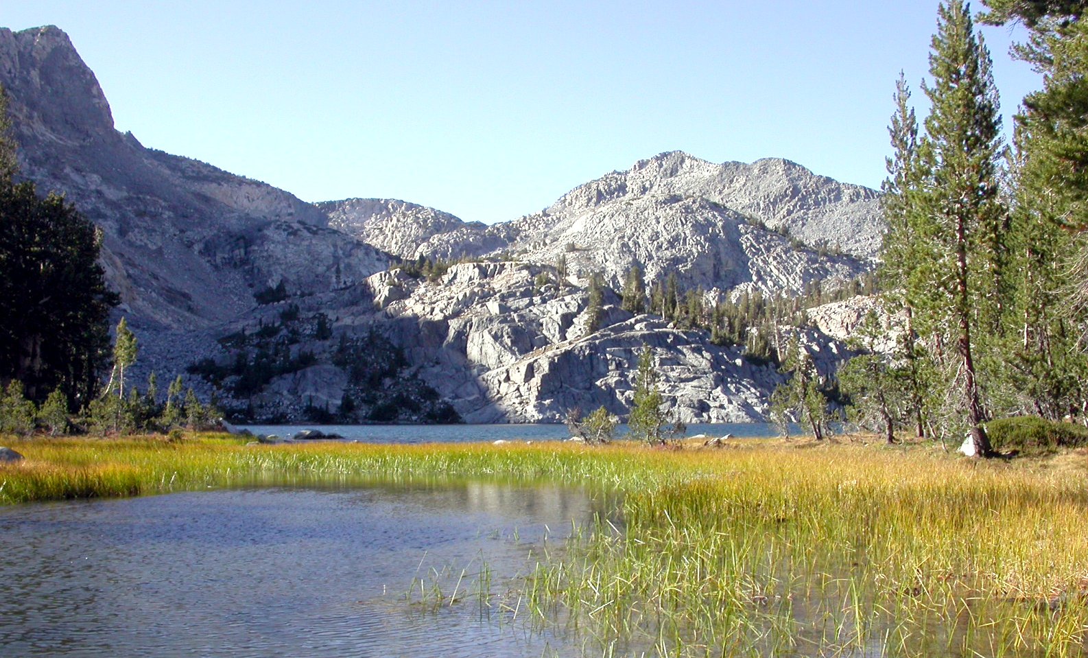
We spent most of the rest of the day on a grand tour of the Graveyard Lakes basin, with fine views toward the southeast of the snow-dusted ranges that form the peaks of the Mono Divide. This panoramic view is from near the top of (the informally named) Silver Fox Pass, a knapsack pass that provides a route from the Graveyard Lakes basin over to Peter Pande Lake. The largest of the Graveyard Lakes is in the foreground, lying just below the pass.
I took this photo (actually three photos, stitched together), but did not know the names of the peaks until now (2022), since we did not have time to study our map. However, with the recent help of our generous mountain-climbing friends and Google Earth we've identified some of the peaks. North Palisade—the third highest in our beloved Sierra—is that dark distant point under its name.
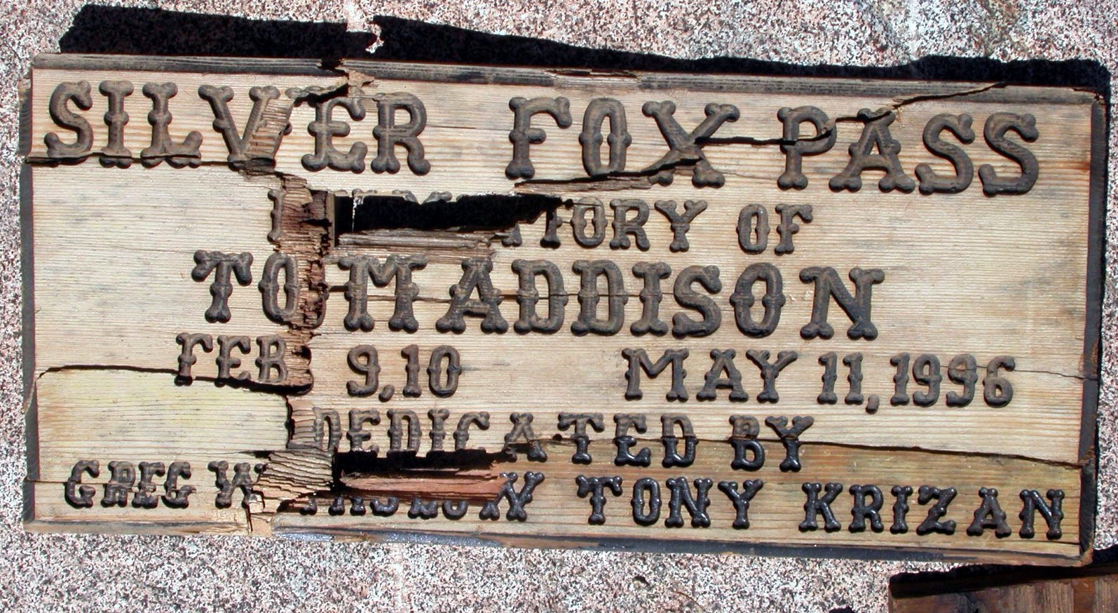
We found this sign (in pieces owing to winter snows, but reassempled for this image) at the top of the pass. We wondered what the story was that caused this sign to be produced and placed. (After we returned, I looked up Tony Krizan; he's a columnist for the Sierra Star, a newspaper published twice a week in Oakhurst. He wrote back, saying, “Yes I installed the sign on top of Silver Fox Pass, in memory of Tom Addison who hiked the Sierra Mountains for over fifty years. The sign will be replaced next season.” It turns out that “Silver Fox” was Tom's nickname. He was silver-haired in his 20s, and a swift hiker in the Sierras, which he came to know well. He was born February 9, 1910, and died May 11, 1996 of natural causes.)
This photo, taken on our way down, is of the lowest of the Graveyard Lakes. This image also appears (somewhat modified) on the cover of Grady Overstreet's “Creature at Graveyard Lakes”.
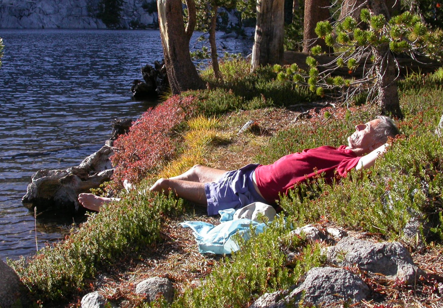
Eventually we returned to our campsite on the lowest lake. Of course we could not resist a quick dip in the lake. Here's Don, relaxing afterwards.
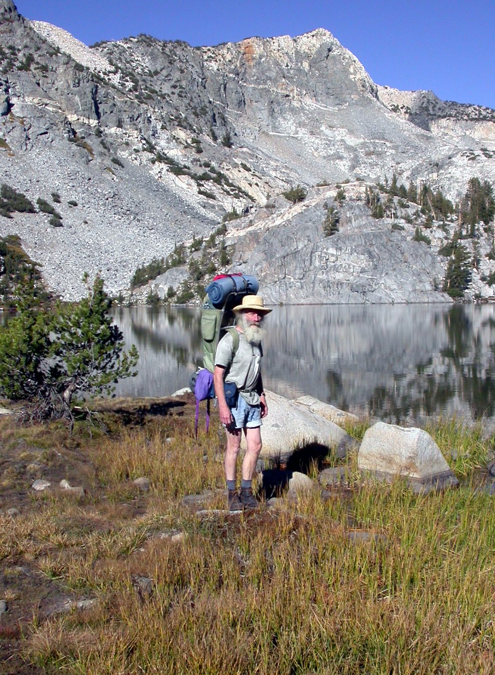
The next day after breakfast we started back, and Don insisted on taking a picture of me, loaded down with my ancient Kelty pack (nearly 50 years old, but still much more comfortable and versatile than the interior frame packs now being sold). There are two nice lakes just above that talus slope in the left background (also visible in the image just before the one above).
Before heading down the trail, we decided to walk up toward Goodale Pass. On the way was this section of trail. Several years ago my wife Celia and I spent a week helping to construct this piece, on a Sierra Club work trip. It's a “causeway” over a section that was once wet and muddy. The causeway is meant to bridge the wet section. We placed those logs at the trail edges, made channels to allow the water to flow across the trail, and filled the space between the logs with rocks and decomposed granite. It looked as if we had done a good job, as it was still in fine condition.
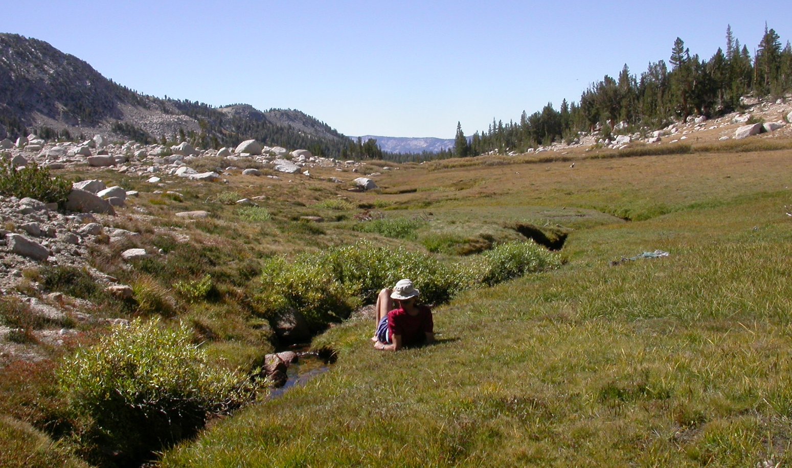
Not far below Goodale Pass lies this high meadow. Cold Creek runs through it, fed largely by many springs. The water is excellent. “Sierra Wine”, I call it. You don't need to filter it.
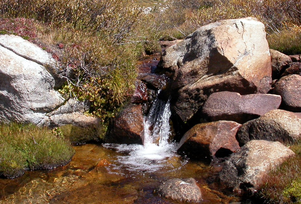
Here's one of the many small waterfalls.
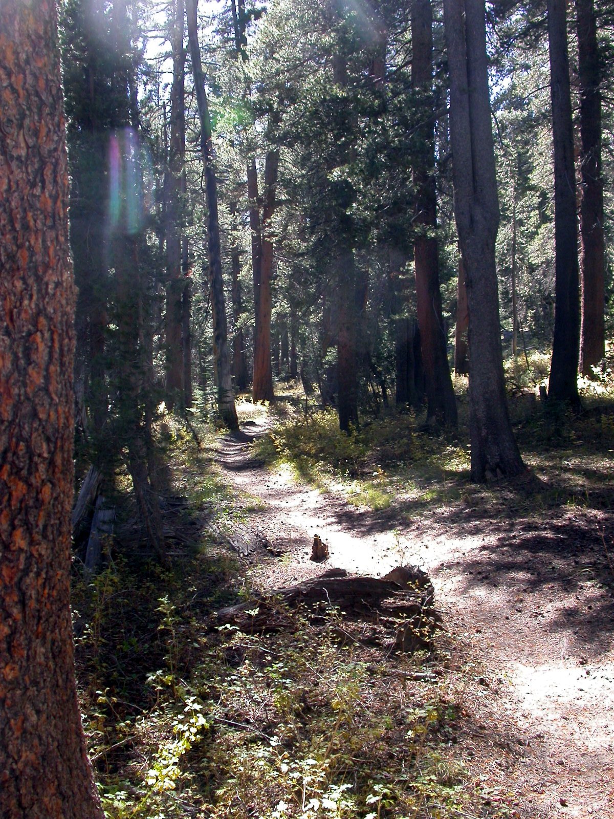
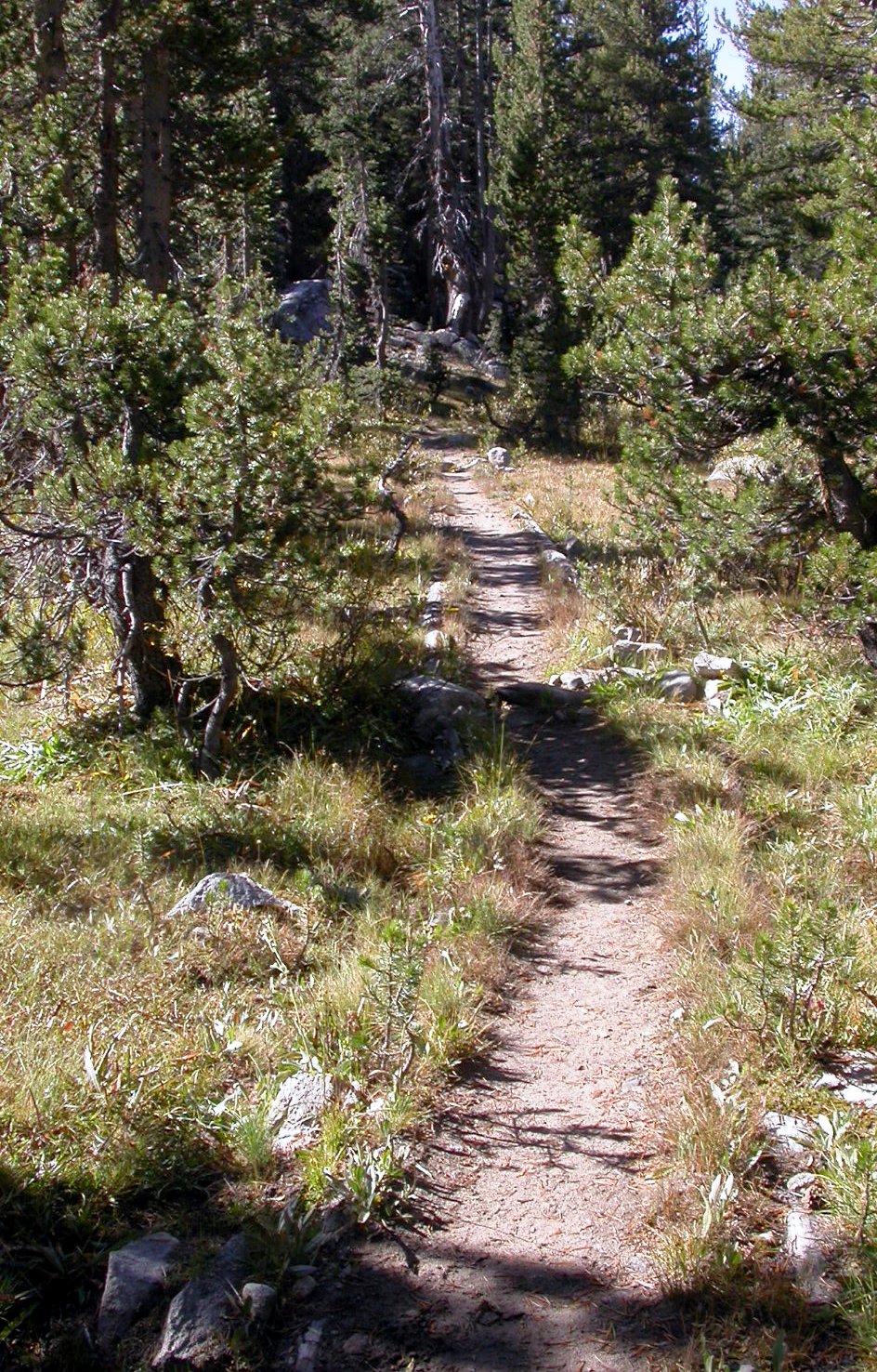
Around noon, we turned around to make the long walk out. Here's what the trail looks like. Farther down, below the Lower Graveyard Meadow, it gets rather dark and dusty among close-packed young pines and not so pleasing.
That night we camped at the trailhead campsite under a stand of large sweet-smelling Jeffrey Pines. It's an excellent campsite. Water is available at the large storage tank. Stays are free, but limited to one night.
The next day we drove back to the Bay Area. Amazingly, we saw not a single person on our entire backpack trip. In fact, all we saw as evidence of human passage were the bootprints of two individuals who were apparently hiking down the trail from Goodale Pass.